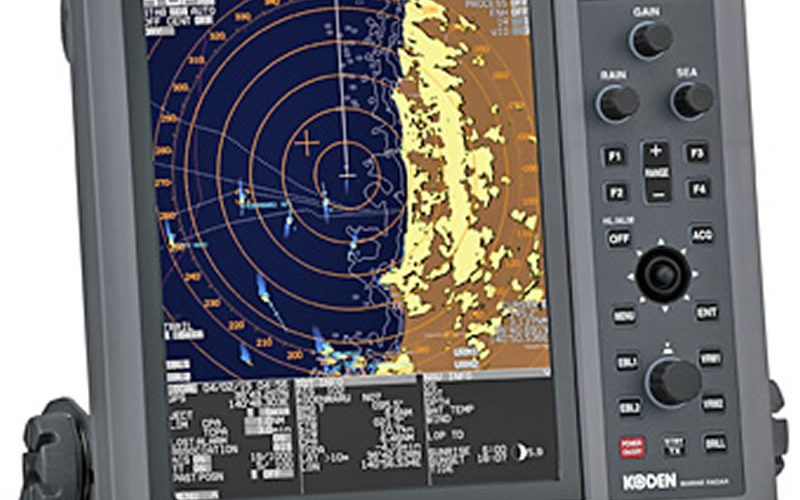
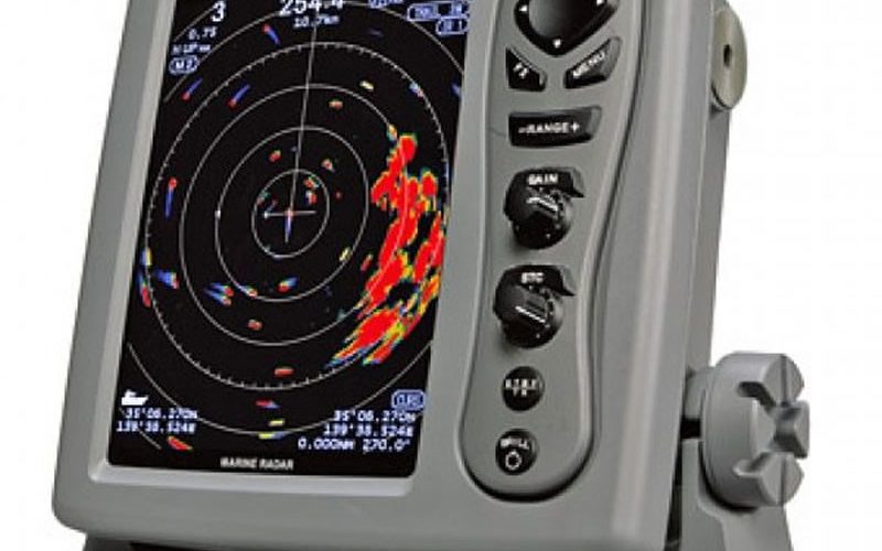
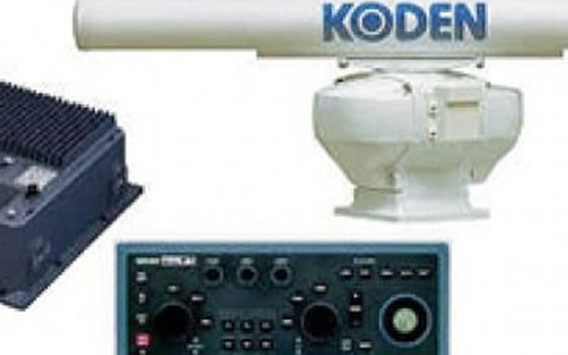
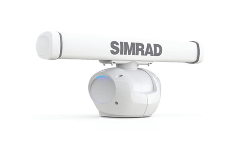
Radars
Marine radars are used to detect other ships and land obstacles, to provide bearing and distance for collision avoidance and navigation at sea. They are electronic navigation instruments that use a rotating antenna to sweep a narrow beam of microwaves around the water surface surrounding the ship to the horizon, detecting targets by microwaves reflected from them, displaying a picture of the ship’s surroundings on a display screen. A Radar has a flat antenna that spins. It emits a signal, then listens back for that signal. The signal bounces back at varying times based on what it may be bouncing off.
Radar is a vital component for safety at sea and near the shore. Skippers need to be able to maneuver their ships within feet in the worst of conditions and to be able to navigate “blind”, when there is no visibility at night or due to bad weather. Radars are rarely used alone in a marine setting. In commercial ships, they are integrated into a full system of marine instruments including chartplotters, sonar, two-way marine radio, satellite navigation (GNSS) receivers such as the Global Positioning System (GPS), and emergency locators (SART).
The integration of these devices is very important as it becomes quite distracting to look at several different screens. Therefore, displays can often overlay charting, radar, sonar into a single system. This gives the skipper unprecedented instrumentation to maneuver the ship. These devices have advanced greatly in the last years and the newer ones have 3D displays that allow navigators to see above, below and all around the ship, including overlays of satellite imaging.